
If you got a letter saying your flood zone is changing, you’re not alone — and you’re probably wondering what it’s going to cost you.
FEMA and the Georgia EPD released new preliminary Flood Insurance Rate Maps (FIRMs) for Chatham County, replacing studies that in some spots are more than 30 years old. Savannah, Pooler, Garden City, Port Wentworth, Bloomingdale, and unincorporated Chatham are all in the mix. Some properties move into higher-risk zones. Some move out. Plenty stay right where they are.
Here’s what that actually means for your wallet in 2026.

The part almost everyone gets wrong
Ask ten homeowners what happens when you get mapped from Zone X into Zone AE, and nine will say “my flood insurance premium goes way up.”
That was true in 2015. It isn’t true now.
Since FEMA rolled out Risk Rating 2.0, flood zones are no longer used to calculate your NFIP premium. Your zone letter doesn’t set your price. What sets your price is your specific house: how far it sits from water, what kind of flooding threatens it, your foundation type, how high your lowest floor is, your claim history, and what it would cost to rebuild.
So a new map doesn’t automatically raise your rate.
What it does change is whether you’re required to buy coverage. Lenders still use the FIRM. If your home lands in a Special Flood Hazard Area — any zone starting with A or V — and you have a federally backed mortgage, your lender will require a flood policy. That’s the real financial shock for most people. Not a rate hike. A brand-new line item.

What Savannah homeowners are actually paying
Real numbers vary wildly house to house, which is the whole point of Risk Rating 2.0. But here’s the rough shape of it in Chatham County:
- Zone X (moderate to low risk): commonly a few hundred dollars a year. Many homes land in the $300–$700 range.
- Zone AE (high risk, inland/tidal flooding): often somewhere between $900 and $2,500.
- Zone VE (coastal, wave action — think Tybee and marsh-front): frequently $2,500 and up, sometimes well past $4,000.
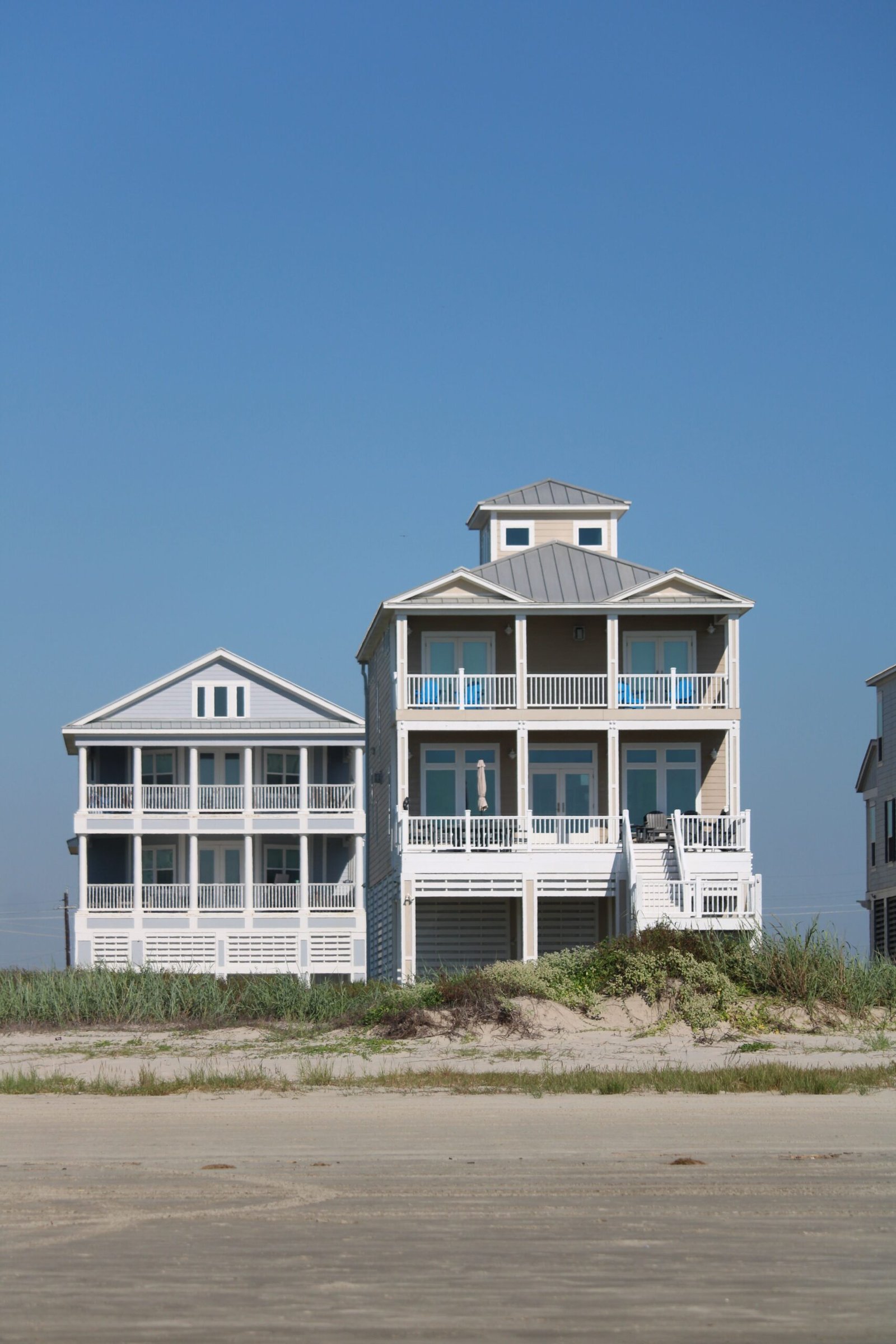
Two houses on the same street can be $800 apart. A raised home on Wilmington Island with three feet of freeboard prices very differently than a slab-on-grade ranch two doors down.
Treat those ranges as a gut check, not a quote. The only number that matters is the one written for your address.
The 18% escalator nobody explains
If you already have an NFIP policy and it’s crept up every single year, here’s why.
When Risk Rating 2.0 launched, FEMA calculated a “full-risk” price for every property. Homes that had been underpriced for decades weren’t hit with the whole jump at once. Federal law caps most annual increases at 18% for primary residences (25% for second homes, rentals, and businesses).
Think of it as an escalator. You’re not choosing to climb — you’re being carried toward a number FEMA already decided on. The increases stop when you reach it.
The frustrating part: FEMA doesn’t tell you what your target is. So you can’t easily know whether you’re one year from the top or eight.
And no, you can’t appeal a Risk Rating 2.0 premium. There’s no process for it. You can appeal the map itself — but winning that appeal won’t lower your NFIP premium, because zones aren’t a rating factor anymore.

The local discount you might not know about
Chatham County participates in FEMA’s Community Rating System, which rewards communities that exceed minimum floodplain standards. Residents get a discount just for living here.
In unincorporated Chatham County, that’s 25% off for properties in A, AE, and VE zones — roughly $263 per policyholder, by FEMA’s own math — and 10% off in X zones. Because most high-risk policies are escrowed, that discount shows up directly in your monthly mortgage payment.
CRS classifications vary by jurisdiction, so the City of Savannah, Pooler, and Tybee each have their own rating. Worth asking your agent to confirm yours is being applied. It’s not always automatic.
Four moves worth making right now
1. Look up your address on the preliminary maps. Go to georgiadfirm.com/VOH or SAGIS.org and check both the current and proposed zone. Do this before you need a mortgage, not during closing.
2. If you’re moving into a high-risk zone, buy coverage before the maps go effective. New FIRMs don’t take effect the day they’re published. There’s a 90-day appeal window, then a Letter of Final Determination, then roughly six more months. Establishing a policy early gives you continuous coverage, which protects certain rating benefits and keeps your lender from force-placing an expensive policy later.
3. Get an Elevation Certificate. Under Risk Rating 2.0, the height of your lowest floor is a real rating variable. If your home sits higher than FEMA assumes, an EC can lower your premium. Chatham County requires new construction in flood hazard areas to be built three feet above base flood elevation — if that’s you, you likely have documentation working in your favor.
4. If the map looks wrong, file a LOMA. A Letter of Map Amendment removes a property from the SFHA when the natural ground elevation is above base flood level. It’s free to apply. Success means your lender can drop the mandatory purchase requirement entirely — which, at $1,800 a year, adds up fast.
Should you look at private flood insurance?
Maybe. Private carriers aren’t bound by the 18% escalator, and some Zone AE homeowners find rates meaningfully lower than NFIP.
But read the fine print. Private policies can be non-renewed. NFIP can’t drop you. And if you leave the NFIP and later want back in, you may lose continuous-coverage credits you can’t get back.
The honest answer is that it depends on where you sit on your glide path, how long you plan to own the home, and how much rate stability is worth to you. That’s a conversation, not a calculator.

The bottom line
Your homeowners policy doesn’t cover flood damage. It never has. And in a county that has flooded more than a dozen times since 1948, with 1,400+ dwellings on record as flooded, that gap matters more here than almost anywhere.
The map changes aren’t something to panic about. They’re something to get ahead of — while you still have time to shop, document your elevation, and lock in continuous coverage.
Not sure where your property stands? Let’s pull your address, check both maps, and price it out properly.
Coverage details, discounts, and eligibility vary by property and carrier. Ranges shown are illustrative, not quotes.